

Quick answer
The kuala lumpur to cameron highlands distance measures approximately 200 kilometers by road via the Simpang Pulai route, the most direct path to the highlands. The alternative Tapah route extends to roughly 214 kilometers. Both routes require 3 to 4 hours of driving time under normal conditions, though narrow mountain roads and traffic congestion can add 30 to 60 minutes during peak periods.
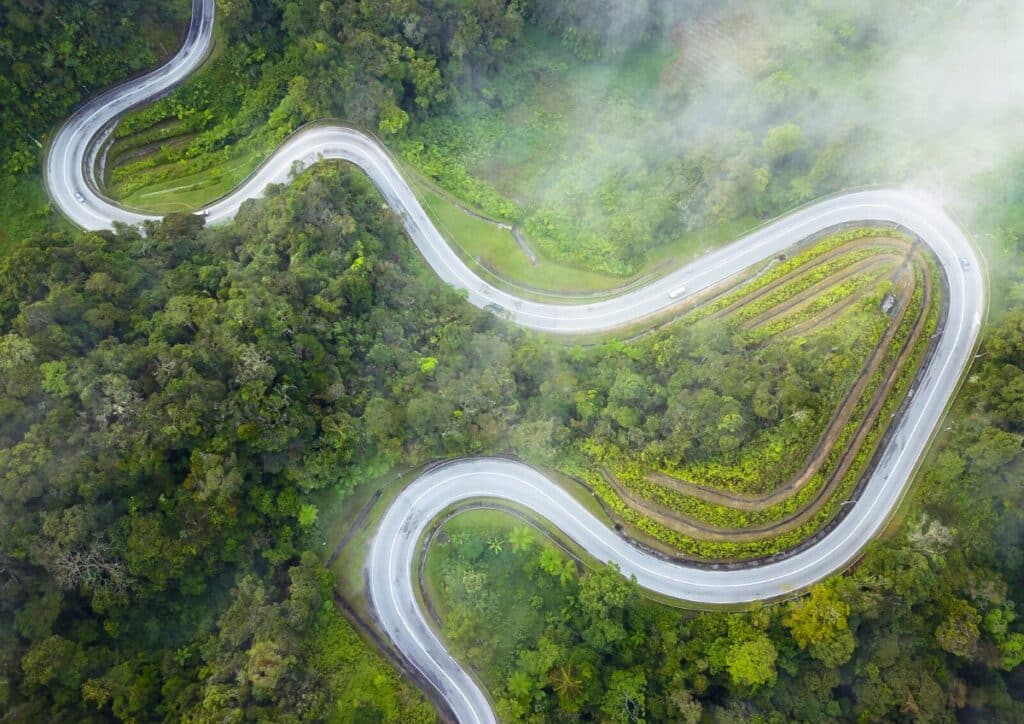
The elevation change matters more than the distance itself. Cameron Highlands sits at 1,500 meters above sea level, and the final 50 kilometers climb through tight switchbacks and single-lane sections where buses and lorries slow all traffic. The straight-line distance from Kuala Lumpur measures only 120 kilometers, but no road follows that path. Two main routes serve the journey. The Simpang Pulai route via the East-West Highway covers 200 kilometers and offers wider roads for the first half, then narrows as it ascends through Kampung Raja and into the highlands proper. The Tapah route stretches 214 kilometers and follows the older mountain road through Ringlet before reaching Tanah Rata. Most drivers choose Simpang Pulai for its smoother pavement and fewer blind corners, though both routes converge at the same destination. The kuala lumpur to cameron highlands distance creates specific timing constraints. Departures before 7:00 AM clear the capital before rush hour builds. Midday starts encounter heavier traffic on Federal Route 59, the single road serving all highland-bound vehicles. Weekend traffic doubles the usual flow, particularly on Friday evenings and Sunday afternoons when domestic tourists travel in both directions on the same narrow road. Fuel stations become sparse after Simpang Pulai. The final 60 kilometers offer only two petrol stops, both small operations with irregular hours. Vehicles should carry at least half a tank before beginning the ascent. Mobile coverage drops in the mountain sections between Pos Slim and Kuala Terla, a 15-kilometer stretch where navigation apps lose real-time traffic data.
“The elevation change matters more than the distance itself.”
Understanding the Kuala Lumpur to Cameron Highlands Distance and Routes
Cameron Highlands is located in Pahang, Malaysia, approximately 200 kilometers from Kuala Lumpur. Access is primarily achieved via road transport through mountain passes connecting the lowlands to the highlands.
North-South Expressway (E1) and Route 59 via Tapah
Terminal Bersepadu Selatan (TBS) to Tanah Rata Bus Terminal
Private hire via North-South Expressway (E1)
Planning Your Day Around the Kuala Lumpur to Cameron Highlands Distance
This schedule works for travelers leaving Kuala Lumpur early morning and returning by evening. The plan accounts for the three-hour drive each way while leaving six hours to explore the highlands.
Depart Kuala Lumpur
Leave the city before rush hour to avoid delays on the highway and mountain roads. The drive takes approximately three hours in good conditions.
Arrive Cameron Highlands
Reach Tanah Rata or Brinchang by mid-morning. Stop for breakfast at a local café before starting your exploration.
Visit Tea Plantations
Tour BOH or Bharat tea estates, walk through the terraced fields, and visit the factory viewing areas. Allow ninety minutes including the drive between sites.
Lunch in Brinchang
Eat at one of the town's restaurants or hawker centers. Steamboat and local vegetable dishes are popular choices.
Explore Mossy Forest
Take a guided boardwalk trail through the montane forest at elevations above 2,000 meters. The loop takes about an hour.
Strawberry Farm Stop
Pick strawberries or buy fresh produce at one of the roadside farms. Fifteen to thirty minutes is enough for a quick visit.
Begin Return Journey
Start the drive back to Kuala Lumpur to arrive before nightfall. Mountain roads become more challenging after dark.
Arrive Kuala Lumpur
Reach the city by early evening, accounting for possible traffic on the final approach.
Pre-Departure Preparation for Kuala Lumpur to Cameron Highlands Distance
Pack strategically for the 200-kilometer mountain journey and Cameron Highlands' cool climate.
-
Bring a light jacket or fleece — Temperatures drop to 10–18°C at 1,500 meters elevation.
-
Pack motion sickness tablets if prone — The winding mountain roads feature over 700 sharp bends.
-
Wear layers you can adjust easily — Morning fog and afternoon sun create wide temperature swings.
-
Charge devices and download offline maps — Mobile signal weakens significantly on mountain stretches.
-
Carry reusable water and light snacks — Limited rest stops exist along the narrow highland ascent.
-
Book accommodation 2–3 weeks ahead — Peak weekends and holidays fill tea estate lodges quickly.
Check availability
Frequently Asked Questions About Travel to Cameron Highlands
Everything you need to know about kuala lumpur to cameron highlands distance